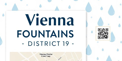
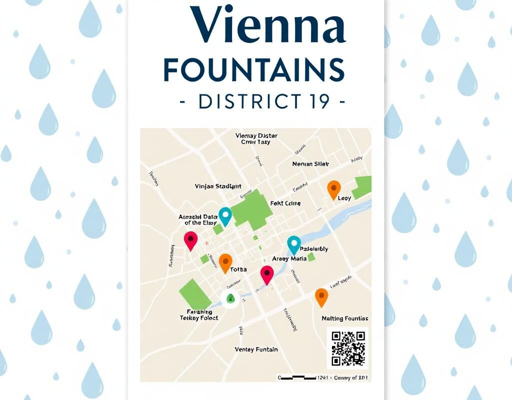
Print2Mobile | Vienna FOUNTAINS – DISTRICT 19
Von Ali Pilehvary am 28.10.2025
Introduction
On hot summer days, when I go out for daily errands, exercise, or leisure, and sometimes this walk is accompanied by our pet, having access to a drinking fountain becomes essential. Dehydration can quickly become a concern for both humans and animals during long walks or outdoor activities. Therefore, having a simple and accessible solution to locate nearby drinking fountains would be extremely helpful. Such a solution could enhance comfort, safety, and overall enjoyment of outdoor activities during the warm months. It would also promote responsible pet care and encourage more people to spend time outdoors without worrying about access to wate.
Idea
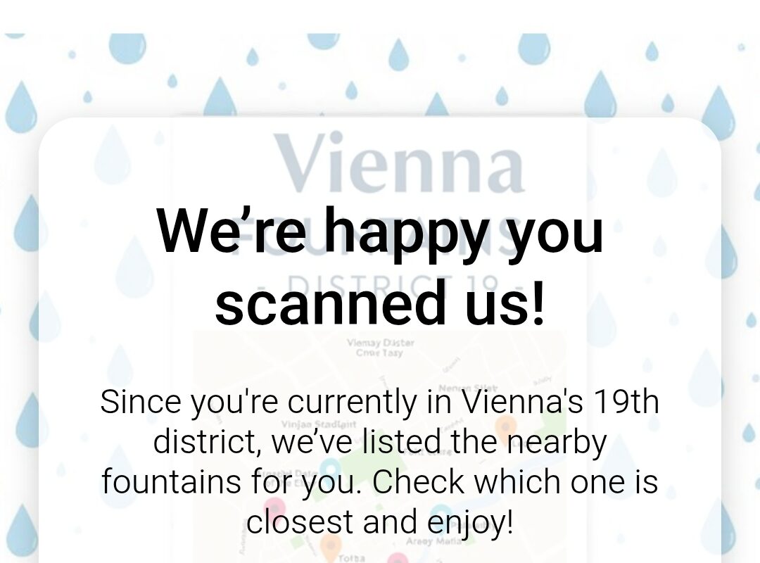
This idea was born from the need to make it easier for people to find public drinking fountains using simple, accessible technology. The concept involves creating a platform that allows users to access information by scanning a QR code printed on posters placed around the city. Once scanned, the user is directed to the application, which uses their current location (GPS) to identify and display the nearest drinking fountains.
The main goal of this idea is to bridge the gap between urban facilities and everyday needs — ensuring that no one, human or animal, struggles to find drinking water during hot summer days.
Implementation
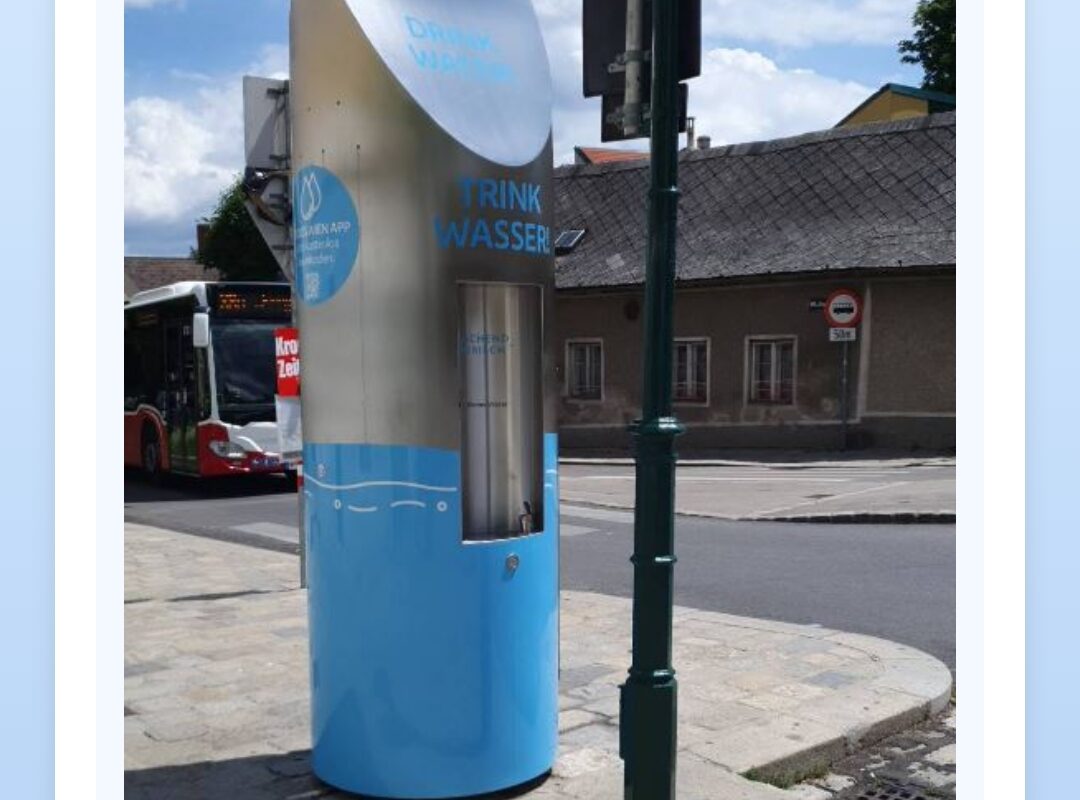
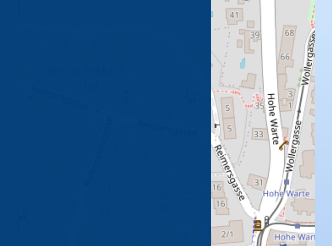
To bring this idea to life, posters titled “Drinking Fountains of Vienna” (for example, District 19) are designed and placed in various locations. By scanning the QR code on the poster, users can enter the app and, based on their current location, view a list and map of nearby drinking fountains.
Each fountain entry includes details such as distance from the user, images of the location, available facilities (for humans and pets), and the exact postal address.
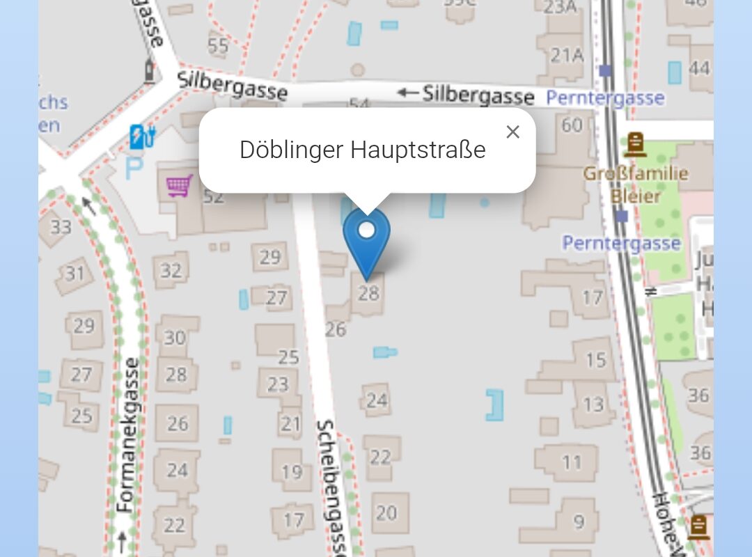
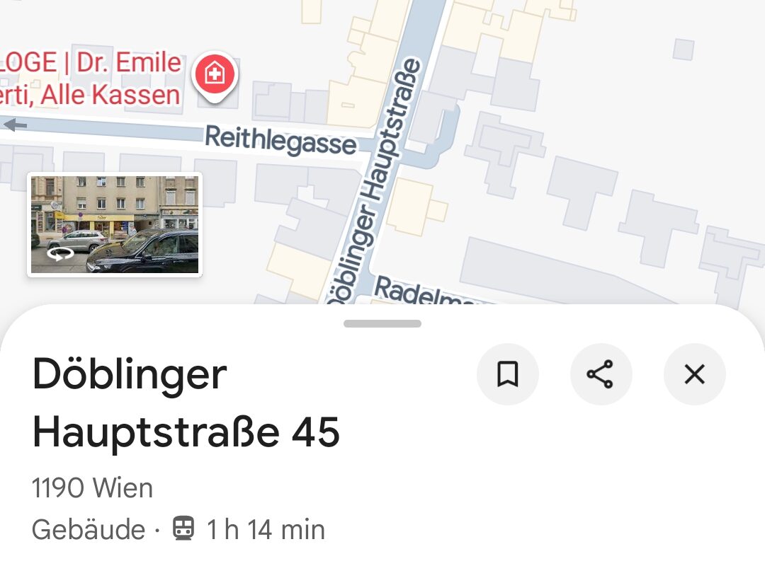
When a user selects a fountain, they can view more information, including images, descriptions, and navigation options. With one click on the “Get Directions” button, the app redirects the user to Google Maps, providing the easiest route to the selected fountain.
Future Development
In the future, this project can be expanded to include all districts of Vienna, and if successful, it could serve as a model for other cities as well.
Additional features could include a user review and rating section, community reports on the condition or accessibility of fountains, and even maps of seasonal or temporary fountains.
Ultimately, this project aims to evolve into an intelligent, user-centered platform that combines technology, urban design, and environmental awareness — contributing to public well-being and sustainable urban living.
Image Sources
This project is an educational university project created for the purpose of practicing and learning software development and programming skills.
The images used in this project were obtained through Google Image Search and are used solely for educational and non-commercial purposes.

The comments are closed.